


Wednesday, April 06, 2005
Break-Up of the Icelandic River
I live on a 3 acre piece of land that I own on the Icelandic River in Riverton, Manitoba. The Icelandic River, actually called the White Mud River before the Icelandic immigrants arrived in the late 1800s, is a major spawning river for "walleye" and other important fish species.
Each spring the river ice breaks up. Depending on how much snow we had in winter, and how fast the weather warms, there is always the possibility of localized flooding if the ice jams up and creates a dam. The whole town is diked, but it is always interesting in spring when the ice lets go. This year we had a lot of snow, and the soil moisture-content was extremely high, so we were told to expect flooding, although I have lived in this house for 13 years and never experienced any flooding at all. My neighbour even sand-bagged his house.

April 5, 2005. 8 AM. The Icelandic River as seen from the northeast corner of my river-front property.

My house situated behind the noticeable "dike".

The northeast corner of my property, and I am looking north and down-river towards the bridge.

April 5, 2005. 3:30 PM, after returning from my Pauingassi flights. The aerial photo shows mine and my neighbours house along the river at the bottom of the picture.

April 5, 2005. 5 PM. The water in the ditches is still rising.

April 5, 2005. 5 PM, river still rising.

April 5, 2005. 5 PM. The bridge is holding back the ice, creating a partial blockage, and raising the river.

April 6, 2005. 7 AM. View from the Government dock in Riverton, downstream from my house.

April 6, 2005. 7 AM. View from the Riverton walking-bridge, downstream from my house.

April 6, 2005. 9 AM. The river is open upstream from us, by the bridge on Highway 8. Just a few ice-pans remain.

A view of the Loewen Farm, which escaped any flooding.

April 6, 2005. 10:30 AM. Upstream from us, my friend Derek surveys his flooded gazebo. It could have been worse, but the trees stopped the ice from destroying his gazebo.

The river starting to break by my house.

Large chunks of ice!!

The power of the river starts to demolish the ice totally.

All hell breaks loose!!

The ice bungs up at the bridge.

The river sounds the final "death knell" to the ice!

Finally, one channel opens up under the bridge!

April 6, 2005. 2 PM. Open water in the river. The flood threat is over!!

SAFE FOR ANOTHER YEAR! Flood threat over, and our house safe again, life continues!
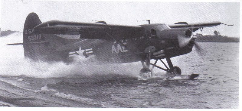
It was actually quite amazing folks, watching the river break up. It is not a huge river, but "Nature" put on a fine display. We also have the break-up on video, and will watch and reminisce in the years to come. Open water means "floatplanes", so stay tuned for up-to-date pictures and stories. Man, I love digital cameras! Adios!
Each spring the river ice breaks up. Depending on how much snow we had in winter, and how fast the weather warms, there is always the possibility of localized flooding if the ice jams up and creates a dam. The whole town is diked, but it is always interesting in spring when the ice lets go. This year we had a lot of snow, and the soil moisture-content was extremely high, so we were told to expect flooding, although I have lived in this house for 13 years and never experienced any flooding at all. My neighbour even sand-bagged his house.

April 5, 2005. 8 AM. The Icelandic River as seen from the northeast corner of my river-front property.

My house situated behind the noticeable "dike".

The northeast corner of my property, and I am looking north and down-river towards the bridge.

April 5, 2005. 3:30 PM, after returning from my Pauingassi flights. The aerial photo shows mine and my neighbours house along the river at the bottom of the picture.

April 5, 2005. 5 PM. The water in the ditches is still rising.

April 5, 2005. 5 PM, river still rising.

April 5, 2005. 5 PM. The bridge is holding back the ice, creating a partial blockage, and raising the river.

April 6, 2005. 7 AM. View from the Government dock in Riverton, downstream from my house.

April 6, 2005. 7 AM. View from the Riverton walking-bridge, downstream from my house.

April 6, 2005. 9 AM. The river is open upstream from us, by the bridge on Highway 8. Just a few ice-pans remain.

A view of the Loewen Farm, which escaped any flooding.

April 6, 2005. 10:30 AM. Upstream from us, my friend Derek surveys his flooded gazebo. It could have been worse, but the trees stopped the ice from destroying his gazebo.

The river starting to break by my house.

Large chunks of ice!!

The power of the river starts to demolish the ice totally.

All hell breaks loose!!

The ice bungs up at the bridge.

The river sounds the final "death knell" to the ice!

Finally, one channel opens up under the bridge!

April 6, 2005. 2 PM. Open water in the river. The flood threat is over!!

SAFE FOR ANOTHER YEAR! Flood threat over, and our house safe again, life continues!
It was actually quite amazing folks, watching the river break up. It is not a huge river, but "Nature" put on a fine display. We also have the break-up on video, and will watch and reminisce in the years to come. Open water means "floatplanes", so stay tuned for up-to-date pictures and stories. Man, I love digital cameras! Adios!


